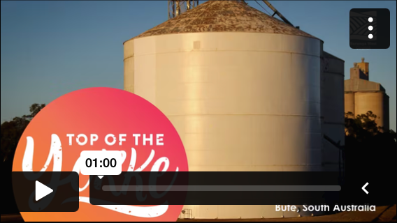
TIME-LAPSE & PROJECT MANAGEMENT
See time in motion – click to discover how our time-lapse system captures every moment with precision!
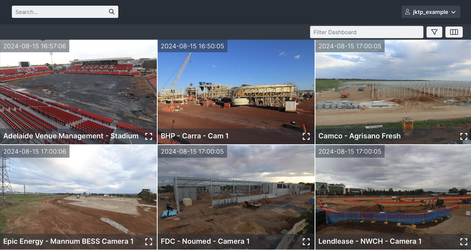
WEB PORTAL
Gain full access to all high-resolution photographs captured at your site, with the option to have images automatically pushed to your website. Our web portal provides an interactive way to review and compare different days, offering a comprehensive photographic history of site activities while also enhancing site security.
INSTALL OPTIONS
We take the hassle out of getting the right angle, height, and aspect for your time-lapse project.
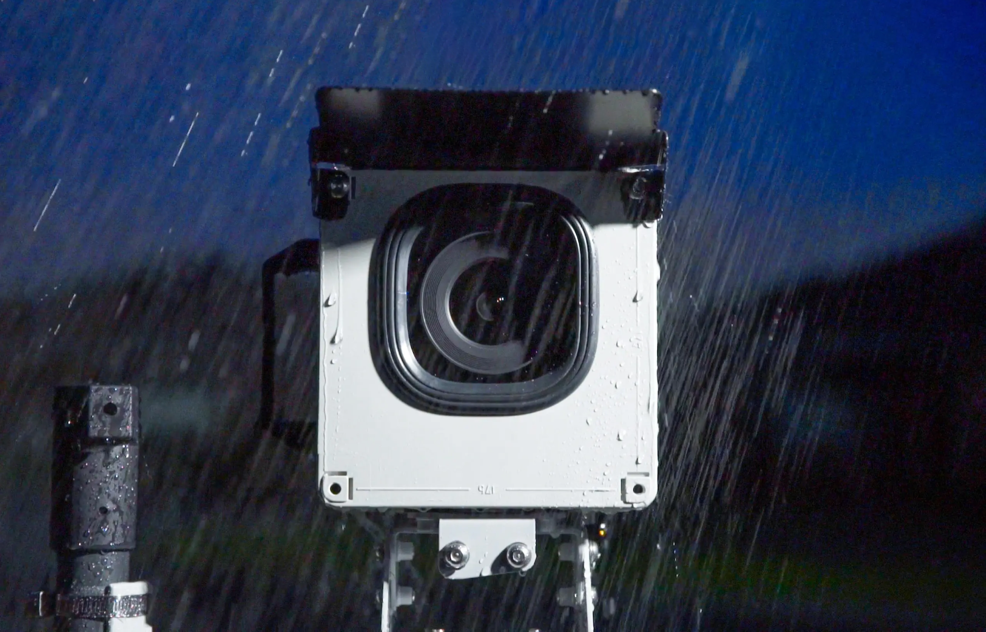
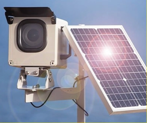
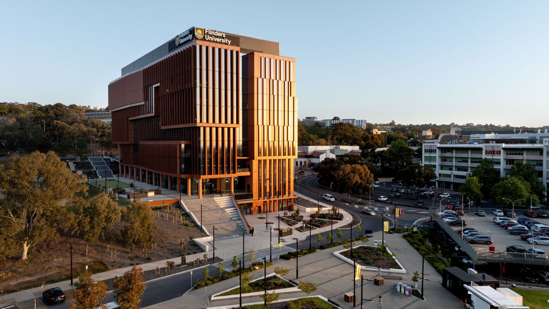
Before installation, we use a drone to check the camera angle, ensuring optimal positioning for the best possible footage. Our team can install cameras on stobie poles, light poles, walls, and roofs and take care of all necessary permissions.
EDITING
We specialise in turning your long-term and remote project photos into high-quality, dynamic time-lapse movies and marketing materials. Our 24MP cameras allow us to pan, tilt, and zoom in on key areas of interest, ensuring that the final video edit highlights the most important aspects of your project.
Monthly Time-lapse and Drone Packages
Tier 1 Package
Camera rental & stills download
Includes:
• Time-lapse camera unit
• Web portal access
• High-resolution photo downloads
• Weather monitoring
• Location mapping tools
Note: Time-lapse video generation and editing not
included in Tier 1 Package.
Add-ons:
• 10% Discount for second camera unit
• Time-lapse video generation and editing available
on request.
Tier 2 Package
Camera rental, stills download
& automated timelapse video files
Automated time-lapse video generation to your web
portal, making it easy to produce and download
shareable project updates.
Includes everything in the Tier 1 Package, plus:
• Portal access to downloadable web-generated
time-lapse video files.
• Time-lapse camera unit
• Web portal access
• High-resolution photo downloads
• Weather monitoring
• Location mapping tools
• Live-lapse viewing.
Tier 3 Package
Camera rental, stills download,
automated timelapse edit, drone capture & edit
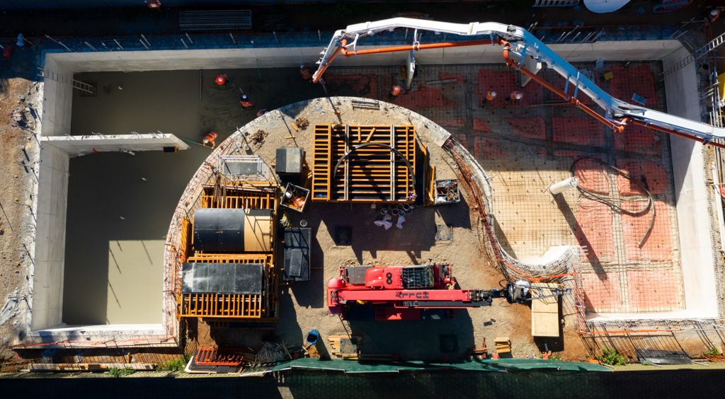
Combines time-lapse capture with scheduled aerial
updates to deliver polished visual content for stakeholder
reporting and marketing.
Includes everything in Tier 2 Package, plus:
• Scheduled drone stills and footage capture
every 3 months
. Enhanced 30-60 second project update video
• Drone photos
• Raw video footage
• Time-lapse camera unit
• Web portal access
• High-resolution photo downloads
• Weather monitoring
• Location mapping tools
• Live-lapse viewing.
Tier 4 Package
Enhanced 30–60-second project update video
edit combining ground and aerial footage
A comprehensive visual documentation solution featuring
ground and aerial coverage with professionally produced
project updates.
Includes everything in Tier 3 Package, plus:
• Ground-level photo and video capture
• Enhanced 30-60 second project update video
combining ground and aerial footage.
• Time-lapse camera unit
• Web portal access
• High-resolution photo downloads
• Weather monitoring
• Location mapping tools
• Live-lapse viewing.
NEXT STEPS
- Estimated Start Date:
When would you like the project to begin?
- Estimated Length of Project:
How long do you anticipate the project will take?
- Project Address:
Where will the project be located?